/
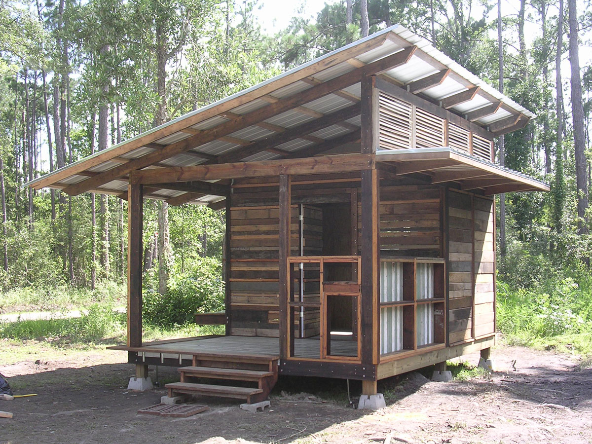
Built by Designcorps for refugees from Hurricane Katrina in Pearlington, Mississippi.
/
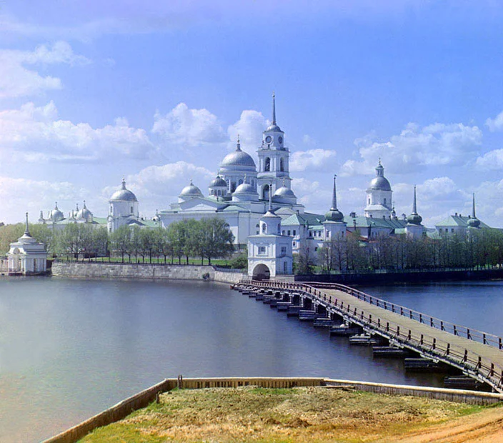
View of the Monastery from the Solarium, 1910.
/
/

Homemade Map of the Day: After spending some 6,000 hours over the course of two years creating a map of the United States from scratch, 35-year-old cartographer David Imus was awarded “Best in Show” by the Cartography and Geographic Information Society over the likes of National Geographic, the CIA, and the U.S. Census Bureau.
“The Essential Geography of the United States of America” (embiggen) is a 4’ x 3’ labor of love designed and executed by one man working alone out of a farm house in Eugene, Oregon.
“He used a computer (not a pencil and paper), but absolutely nothing was left to computer-assisted happenstance,” says Slate’s Seth Stevenson. “Imus spent eons tweaking label positions. Slaving over font types, kerning, letter thicknesses. Scrutinizing levels of blackness. It’s the kind of personal cartographic touch you might only find these days on the hand-illustrated ski-trail maps available at posh mountain resorts.”
Learn more about what makes Imus’s map so special here. Also, you can purchase your very own print of “The Essential Geography of the United States of America” on his personal site for only $12.95.
[slate / visualnews.]
Now that’s some dedicated map-loving!
/

/
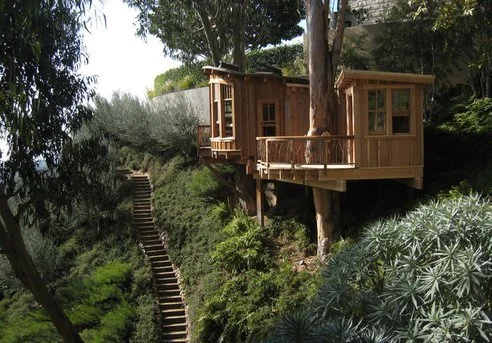
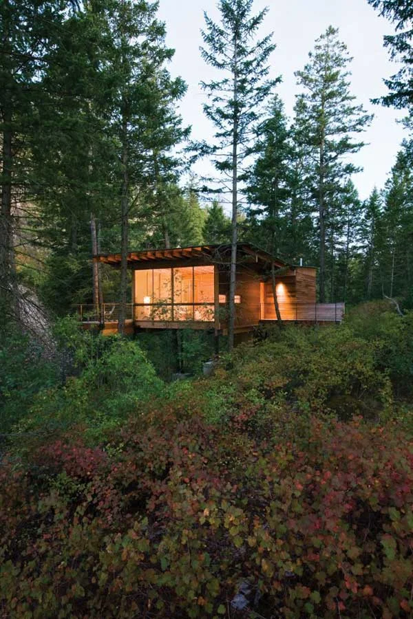
Pete Nelson’s Tree Houses Let Homeowners Live the High Life : TreeHugger on We Heart It. http://weheartit.com/entry/19008170
/
![homedesigning:
Bridge House [Visualized]](https://images.squarespace-cdn.com/content/v1/54e6c8ece4b0663b4a76f755/1437625985849-3IGW1DV5YVVOTII9OKAZ/image-asset.jpeg)
/
/
/


MVRDV: The Cloud (Design for a masterplan in Seoul, Korea, via designboom)
If you are unfamiliar with MVRDV’s work I definitely suggest looking them up, they are architecture super geniuses and have contributed to architecture with significant designs and projects.
/

/
/
Seeing Cities as the Environmental Solution, Not the Problem
This article is the first in a series of posts that explain the NRDC’s agenda for sustainable communities. Kaid Benfield reframes cities as opportunities to improve the planet.
As it turns out, compact living – in communities of streets, homes, shops, workplaces, schools and the like assembled at a walkable scale – not only helps to save the landscape; it also reduces pollution and consumption of resources. We don’t drive as far or as often; we share infrastructure.
/
“Somewhere something incredible is waiting to be known.”
/
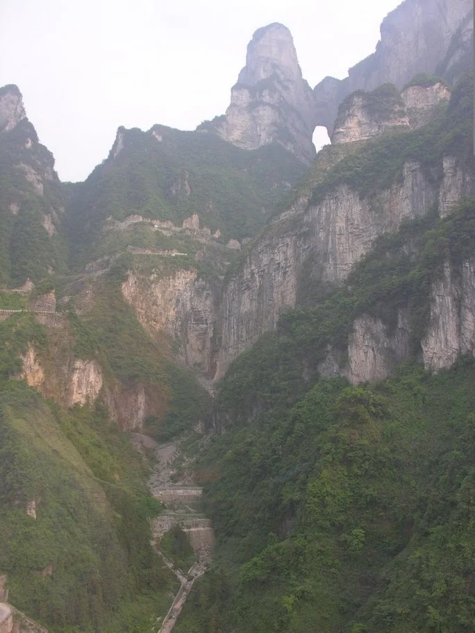
“Tianmen Cave is the natural water-eroded cave with the highest elevation in the world. In the year 263, the thousand-meter high cliff of Songliang Mountain suddenly broke open into a door-like cave which became a rare wonder of the world. Hence Songliang Mountain is change to Tianmen Mountain. Tianmen Cave runs south-northward with a height of 131.5 meters, a width of 57 meters and a depth of 60 meters. It’s much like a gate towards the heaven."
/
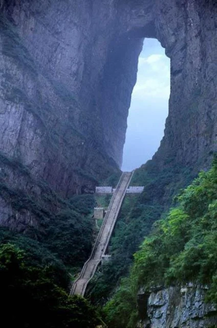

The River Chu cuts through the middle of heaven’s gate,
The green water flowing east reaches here then swirls.
On either bank the blue hills face towards each other,
The flatness of a lonely sail comes from by of the sun.
/
/
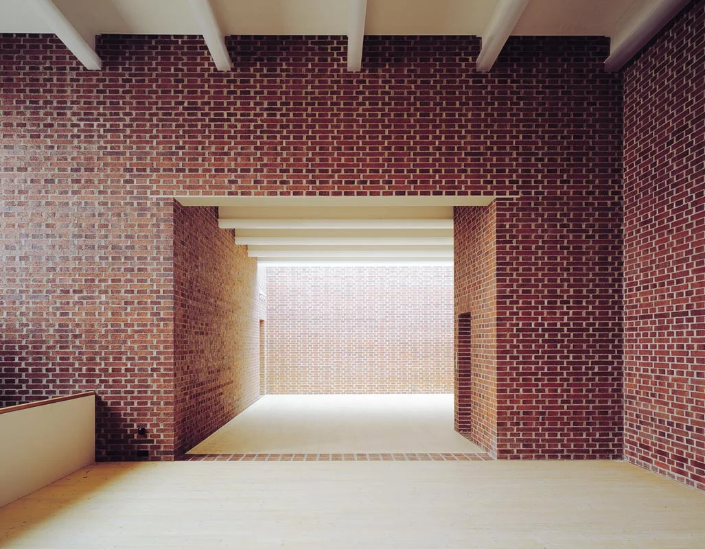
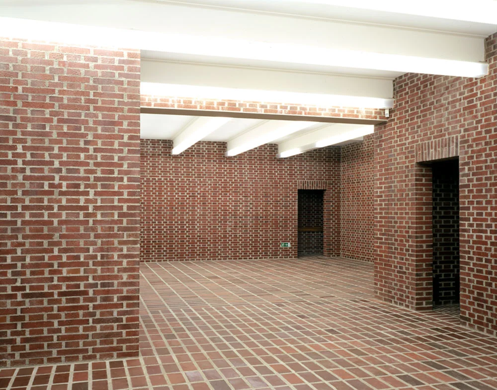
Bearth & Deplazes - The all brick Gallery of Contemporary Art, Marktoberdorf 2001; an interesting choice of materials for a gallery space.